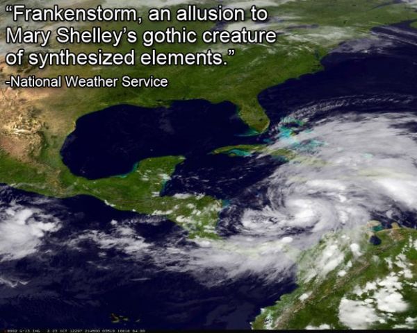
Hurricane Sandy is roaring through the Caribbean and is expected to inch up the East Coast of the US, landing in New York City early next week. A winter storm is brewing in the west, and is expected to reach New York City early next week. A mass of Arctic air is rushing down from the north, and is expected to reach New York City early next week. What happens when these weather events collide? The National Oceanic and Atmospheric Administration dubbed it "Frankenstorm." And according to NOAA forecaster Jim Cisco, it won't be just New York that will be affected: the storm may cover a large part of the East Coast and reach inland as far as Ohio.
Coastal areas from Florida to Maine will feel some effects, mostly from the hurricane part, he said, and the other parts of the storm will reach inland from North Carolina northward.Read more about Frankenstorm. here
"It will get broader. It won't be as intense, but its effects will be spread over a very large area," the hurricane center's chief hurricane specialist, James Franklin, said Thursday.
One of the more messy aspects of the expected storm is that it just won't leave. The worst of it should peak early Tuesday, but it will stretch into midweek, forecasters say. Weather may start clearing in the mid-Atlantic Nov. 1 and Nov. 2 in the Northeast, Cisco said.
"It's almost a weeklong, five-day, six-day event," Cisco said Thursday from NOAA's northern storm forecast center in near Washington. "It's going to be a widespread serious storm."

No comments:
Post a Comment