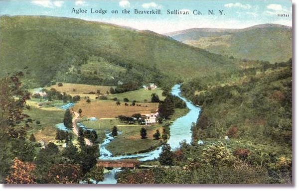
Agloe, New York
Last
week, Google Maps took an entire town away. Wiped it off the map. Does
Google have the power to do that? No, it was just correcting a mistake
that has been copied and perpetuated for 90 years. The community of
Agloe, in upstate New York, never really existed. It was placed on a
1925 map distributed by Socony gas stations as a copyright trap.
Cartographers sometimes did that so they’d know if later maps were
copied from theirs. Apparently the one with Algoe on it was copied a
lot.
Among those countless copyright traps, Agloe achieved a rare distinction: The name stuck. As early as the 1930s, a fishing lodge named Agloe opened nearby (which later helped Rand McNally successfully claim in a lawsuit that the Agloe on its own map had not been copied from Socony’s).Google Maps only removed the town when a reporter from the New York Times asked about it. See, you don’t really have to visit a place to make a map of it… as long as you can read someone else’s map. The curious thing about Algoe is that it has been mapped so many times for so long that it has almost become real. Read about the history of Algoe, how it was named, and the fame that grew around the nonexistent town, at the New York Times.
Agloe survived on road maps by Esso and Exxon into the late 20th century and even long enough to evolve from a so-called paper town into a digital one on websites like Google, where it made its debut only last year.
It was even mentioned in a 1957 travelogue in The Times about “scenic drives through the Catskills,” which rhapsodized about “an unmarked country road that goes north through Rockland and Agloe.”

How Agloe, a speck of a hamlet in the western Catskills, wound up on maps 90 years ago remains a cartographic enigma. How it persevered is an existential riddle. In the 1930s, General Drafting Company founder Otto G. Lindberg and an assistant, Ernest Alpers, designed the town as a copyright trap.


No comments:
Post a Comment