
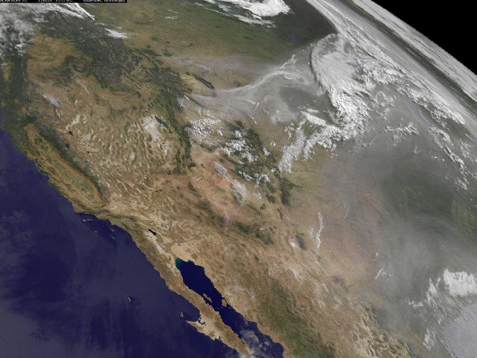
NASA/NOAA GOES Project. Caption: NASA Goddard, Rob Gutro
The NASA GOES-15 satellite captured this image of the western United
States which shows smoke from fires in many states creating a
brownish-colored blanket over the region.
The dawn's early light revealed smoke and haze throughout the Midwest, arising from forest fires throughout the Rockies. While the most publicized fires occur along the populous eastern range in Colorado, the great smoke plumes in this image came from Wyoming. NOAA's Geostationary Operational Environmental Satellite, GOES-15, captured this visible image on June 28 at 1245 UTC (8:45 a.m. EDT). This image was created by the NASA GOES Project at NASA Goddard Space Flight Center, Greenbelt, Md.More images at the NASA fire coverage site.
No comments:
Post a Comment