
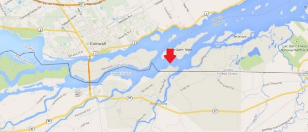
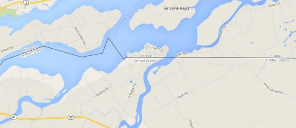
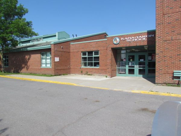
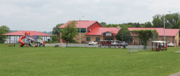
A Tiny Piece of Canada Attached to the United States
These were decisions made by people with limited knowledge of the actual geography and, by modern standards, inadequate surveying equipment. As I've mentioned previously, such problems led the United States to accidentally build a fort in Canada.
The Great Lakes and the St. Lawrence River have numerous islands. It was not always clear from the Treaty of Paris which islands belonged to which nation. But boundary commissions worked during the 1830s and resolved the outstanding issues by the 1842 Webster-Ashburton Treaty. St. Regis, as Kana:takon was known at the time, would remain Canadian.
The entire territory is part of a Mohawk Native American/First Nations community that straddles the US-Canadian border. Members of that nation cross the international border freely because the 1794 Jay Treaty permits them to do so:
It is agreed that it shall at all Times be free to His Majesty's Subjects, and to the Citizens of the United States, and also to the Indians dwelling on either side of the said Boundary Line freely to pass and repass by Land, or Inland Navigation, into the respective Territories and Countries of the Two Parties on the Continent of America (the Country within the Limits of the Hudson's Bay Company only excepted) and to navigate all the Lakes, Rivers, and waters thereof, and freely to carry on trade and commerce with each other.
No comments:
Post a Comment