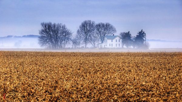
Remember the research that proved that Kansas is indeed flatter than a pancake? Geographers Jerome Dobson and Joshua Campbell took exception to the methods used in that study, and indeed it is a case of comparing apples and oranges.
Still, the two things being compared came straight from the old adage.
Dobson and Campbell did their own research into the matter.
For
their study, The Flatness of U.S. States, the pair developed a measure
of human-scale perception of flatness by creating an algorithm that
approximated what a person of average height would see if they were
standing in a given spot and turning around in a circle, taking in 16
different views in a revolution. Then they took elevation data for the
country from NASA’s Shuttle Radar Topography Mission, divided the
contiguous U.S. (sorry, Alaska and Hawaii, but they already figured you
wouldn’t be the flattest) into 90-meter cells and ran the algorithm to
get a flatness score for each cell (calculated by the number of views in
the cell that appeared flat: 0-4 flat views was considered “not flat”;
5-8 flat views, flat; 9-12, flatter and 13-16, flattest). Each state was
then measured in terms of percentage of land that was not flat, flat,
flatter and flattest, and then ranked.
It turned out
that Kansas is not even in the top five the flattest states in the
States! Kansas actually came in seventh. Try to guess which state is
actually the flattest in the union before you learn
the answer at mental_floss.


No comments:
Post a Comment