
People in 15th-century Europe were convinced the end was near. The Roman Empire had fallen, the Plague was running rampant, and the Holy Land was in the hands of the Ottoman Empire.
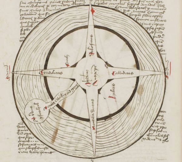
Dozens of printed works described the coming reckoning in gory detail, but one long-forgotten manuscript depicts the Apocalypse in a very different way—through maps. “It has this sequence of maps that illustrate each stage of what will happen,” says Chet Van Duzer, a historian of cartography who has written a book about the previously unstudied manuscript.Read more about the apocalypse maps at Phenomena.
The geography is sketchy by modern standards, but the maps make one thing perfectly clear: If you’re a sinner, you’ve got nowhere to hide. The Antichrist is coming, and his four horns will reach the corners of the earth. And it just gets worse from there.
No comments:
Post a Comment